 What has been the long term impact of arsenic contamination around Yellowknife? How did Giant Mine change the land in that area?
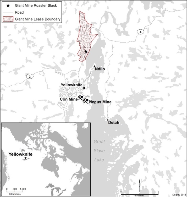
Certainly historical gold mining and ore roasting fragmented and contaminated the landscape in the Yellowknife region, an important area for harvesting medicinal plants, collecting drinking water, and fishing and hunting for the Dene. Recent studies and news reports have documented the extensive arsenic contamination of lakes up to 25 km from the mine.
As part of the Toxic Legacies project, MA student Amanda Degray, working with Yellowknives Dene land users and knowledge-holders, documented the widespread impact of arsenic emissions on Yellowknives Dene land use in the surrounding area. In a series of powerful maps and interviews, this work creates a spatial narrative of environmental injustice based on the unique histories and experiences of Dene land-users living and engaging in one of Canada’s most contaminated landscapes.
The data collected through this project, which included historical and contemporary land-use information as well as oral stories, is now held by the Yellowknives Dene First Nation. It will contribute to their ongoing documentation of the impacts of Giant Mine on their territory and inform surface remediation activities in the region.
Land-use mapping shows areas of avoidance and continued harvesting activities identified by participants: Land-use poster. You can also read Amanda’s thesis in its entirety here: Degray_MA_final.